

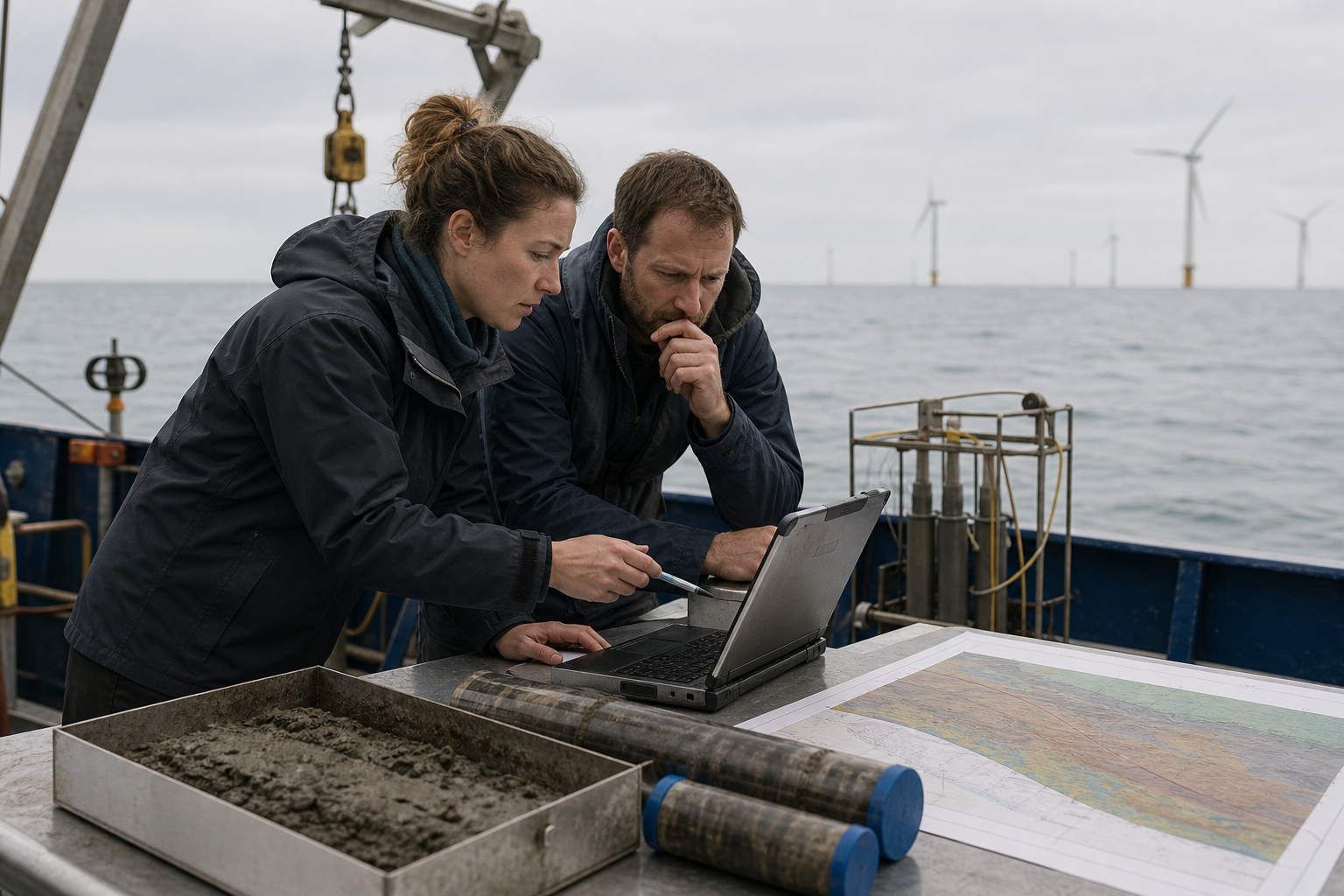
The British Geological Survey (BGS) is to lead a three-year project to produce new geological datasets and reports covering the UK Continental Shelf (UKCS).
Funded by The Crown Estate, the Seabed Geoscience for Marine Planning (Seabed GeoMaP) project will provide offshore developers and other marine users with information on seabed and shallow subsurface conditions around the UK.
Datasets to cover seabed hazards and change
The UKCS comprises the seabed and subsoil extending from the UK’s landmass beneath the surrounding seas. It supports oil and gas production, offshore wind farms and other marine infrastructure.
Over the next three years, BGS scientists will develop national-scale datasets covering seabed geomorphology, Quaternary sediment thickness, sediment variability, submarine landslides and the likelihood of seabed change.
The organisation said the work would provide evidence for planning offshore renewable energy, marine conservation and subsea infrastructure. Existing geological and marine survey data will be combined with geological mapping expertise and new analytical techniques.
The resulting information is intended to help stakeholders assess seabed characteristics, geological hazards and shallow subsurface conditions during early-stage planning.
“Acquiring and integrating high-quality geoscience data is fundamental to our approach to multi-sector seabed spatial optimisation,” said The Crown Estate’s lead engineering manager Michael Blair.
“Through this collaboration with BGS, we’re combining extensive existing datasets with advanced analytics to strengthen the evidence base for decision-making, helping to support safe and sustainable offshore development.”
Evidence for Marine Delivery Routemap
The project will also contribute geoscience evidence to The Crown Estate’s Marine Delivery Routemap, a digital tool due to launch in 2027. The tool is designed to model potential use scenarios and opportunities for the seabed and coastline around England, Wales and Northern Ireland over the coming decades.
Once completed, the datasets will be made available through The Crown Estate’s Marine Data Exchange and the BGS GeoIndex.
The findings are expected to inform the routing and burial of subsea cables, including measures to protect them from anchors, fishing gear and erosion.
“This project will support the spatial optimisation capabilities of our Marine Delivery Routemap tool and allow us to bring to the market optimised, lower-risk project opportunities, driving value for the nation through considered use of the seabed to support positive outcomes for nature, energy, infrastructure and jobs,” said The Crown Estate’s head of planning and technical Olivia Thomas.
BGS head of marine geoscience Andrew Finlayson said the project was an important step towards understanding the UK’s seabed and shallow subsurface.
“During the scoping phase, we received valuable input from across the marine community and we hope that the datasets will be a useful resource for a wide range of stakeholders,” he said.
The announcement follows BGS research earlier in 2026 indicating that the upper 2m of seabed across the UK North Sea is more geologically varied than previously thought, with potential implications for the ground conditions encountered when burying subsea power and telecommunications cables.